available
Detailed features

Prepare your Atlantic crossing
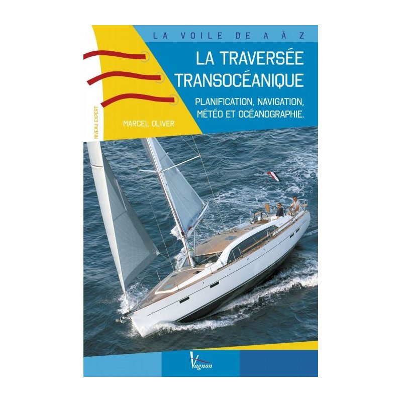
This is a very practical guide for experienced boaters wishing to cross the Atlantic. You will find planning, meteorology and oceanography... A unique book on the market, which adventurous sailors are eagerly awaiting! It also includes examples of routes to the West Indies.
Features of the guide : The trans-oceanic crossing.
- 144 pages
- Format: 16 x 24 cm
In the same category
4 other products seleted for you-
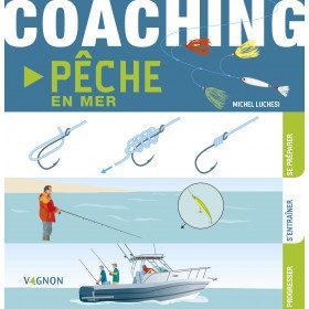
<h2>Sea fishing coaching: prepare, train and progress!</h2>
<p>Coaching sea fishing of <strong>Vagnon</strong> is a very visual guide thanks to its illustrations. With a relaxed approach, it will help you learn and progress during your sea fishing excursions.</p>
<h2>Characteristics of the Sea Fishing Coaching</h2>
available

-
<div class="fiche-txt">
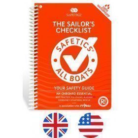
<h2>The Safetics safety guide english version : Sailboats and Motors</h2>
<p style="text-align:justify;">Safetics® The Sailor’s Checklist is the first English-language navigation guide written in the form of aviation-style check-lists. Recommended by Coast guards and translated and adapted by English skipper Pip Hare, it compiles all major navigation rules as well as procedures validated by sea safety experts. Its universal and practical content has been designed for both skippers and crew members, and is suitable for sailboats and powerboats. Its waterproof and tear proof format allows an unrivalled durability.</p>
<p style="text-align:justify;">This guide is the result of the work of enthusiasts who decided to create a simple and intuitive memo for pleasure boating. Its content is based on official recommendations, as well as on numerous feedbacks and experts' opinions, including in particular that of <strong>Armel Le Cléac'h </strong>a skipper and professional sailor. A real Sailor's Checklist for sailing and motor boats.</p>
<h2>Features of the Safetics Sailing Guide: Sailor's Checklist</h2>
</div>
available

-
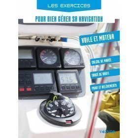
<h2>Exercises to manage your navigation</h2>
<p><span>With this navigation exercise manual you will know how to read and interpret a nautical chart, take a bearing and take stock, read and interpret a nautical chart, draw the graph of water heights of a tide, all with pedagogical texts and many practical exercises, it allows you to train before going to sea!</span></p>
<h2>Features of the Manual Exercise to manage your navigation</h2>
available

-
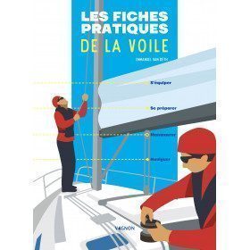
<h2>The practical sailing sheets to equip yourself, prepare, manoeuvre and sail!</h2>
<p>This manual <strong>Vagnon</strong> includes 65 illustrated sheets to guide the "sailor" and help him or her progress in the discovery and practice of sailing.</p>
<h2>Characteristics of the practical sailing cards</h2>
available


