available


Detailed features

The boater's memo: a practical memo of the ABCs of navigation
The boater's memo of the edition Vagnon is a practical and very visual memo which makes it easy to understand and remember. The aim of this memo is to guide you through the stages of a successful trip at sea. Harbour manoeuvres, signs, lights, markings, radio messages, accidents, safety rules: everything is explained to help you adopt the right gestures to avoid endangering your own life and that of your crew.
Features of the Boater's Memo
- Edition Vagnon
- Authors: Marcel Olivier, Daniel Hubert and the SNSMprevention collective
- Illustration Lorenzo Timon
- Format 15 x 21cm
- 192 pages
You might also like 3 other products seleted for you
-
<h2><strong>The essential pack to prepare your offshore licence</strong></h2>
<p style="text-align:justify;">A set of quality tools to pass your offshore licence! Picksea is the owner of the Flash-Tide Instruments brand and our teams manufacture in France, in Lorient, all models of <a href="https://www.picksea.com/en/106806-cras-navigation-rules">rules cras</a> or Breton. Picksea is also a SHOM agent. We are therefore the best able to provide you with a pack composed of the best products at the best price.</p>
<h2>Composition of the offshore licence pack</h2>
available

-
<h2>All about the world of boating - <span style="color:#ff0000;">Written and designed by the experts at Picksea!</span></h2>
<p style="text-align:justify;">From A for "Shoot" to Z for "Avoidance Zone", this <em>"Abécédaire du plaisancier" </em>offers definitions of more than 300 key words that are essential for acquiring a solid nautical culture that is useful for any outing at sea, in a motorboat or under sail.</p>
<p style="text-align:justify;">The book is enriched with visual plates to identify and remember at a glance the essentials about the design and operation of a boat, basic manoeuvres, markings and markings, safety equipment, rigging, sails, etc...</p>
<h2><span style="font-family:'novecento_wide_medium', sans-serif;font-size:16px;">Details on the Abécédaire du plaisancier</span></h2>
available

-
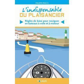
<p><span>All the basic rules you need to know to sail and powerboat properly</span></p>
<h2>Details on "L'indispensable du Plaisancier" by Vagnon</h2>
available


In the same category
4 other products seleted for you-
available
-
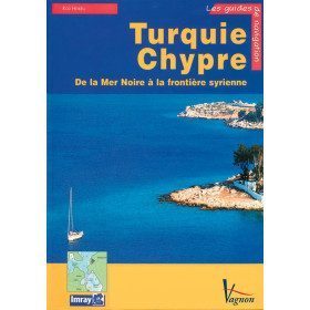
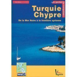
<p>A guide from the prestigious English publishing house IMRAY, a world reference in the field of marine cartography. This guide covers the areas of Turkey and Cyprus, from the Black Sea to the Syrian border. </p>
available
-
<div class="fiche-txt">
<h2>The tide in detail by SHOM</h2>
<p>This work is dedicated to any yachtsman who is particularly interested in the tide and all that can result from it. A very nice book filled with beautiful photos and landscapes, but also with relevant and quality information.</p>
<h2>General browsing on Picksea.com</h2>
<p>Many books on navigation in general are available on our site, do not hesitate to discover and enjoy them by browsing our categories. Such as the practical guides, the marine guides, or the youth section for your children!</p>
<h2>Features of this book</h2>
</div>
available
-
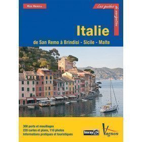
<p>Guide from the prestigious English publishing house IMRAY, a world reference in the field of marine cartography. This guide covers the areas of Italy: From San Remo to Brindisi, Sicily and Malta. Edition of 03/12/2012</p>
available