Detailed features

North Atlantic Offshore Marine Chart | Transatlantic
The NV Pilot 5 offshore chart covers the North Atlantic from Europe to the Caribbean and on the reverse side, an area covering the Atlantic islands: Cape Verde Islands, Canary Islands, Madeira and Azores. The ideal map to prepare a transatlantic voyage.
Details on the NV Pilot 5 map - North Atlantic | Transatlantic
The offshore chart NV Pilot 5 covers the North Atlantic from Europe to the Caribbean and on the reverse side, an area covering the Atlantic islands: the Cape Verde Islands, the Canaries, Madeira and the Azores. The ideal map to prepare to follow a Transatlantic.
This range of charts has been published by NV-Charts in order to be able to plan a cruise or a crossing a range of charts under the name NV. Pilot.
These are double-sided folding paper maps with road maps at scales ranging from 1:1,150,000 to 1:750,000. These maps cover a large area and do not contain details.
All maps contain important traffic lights as well as distances between potential stopovers.
The cards are in A1 format and folded to 15 x 30 cm.
In the same category
4 other products seleted for you-
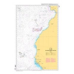
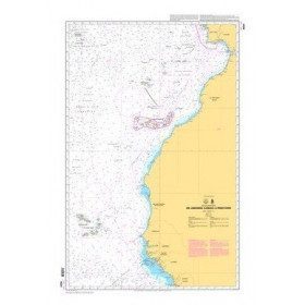
<p>Shom marine chart 6821L. Nice to Piombino. Scale: 1:250000.</p>
available

-
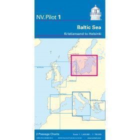
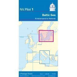
<h2>Baltic Sea Offshore Marine Chart</h2>
<p>The NV Pilot 1 offshore chart covers the Baltic Sea area from Kiel to Oslo on the front and the area from Skagerak (Flekkefjord) to Helsinki on the back.</p>
<h2>Details on the NV Pilot 1 - Baltic Sea map</h2>
available
-
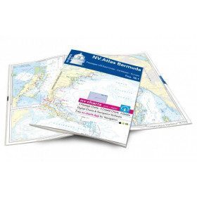
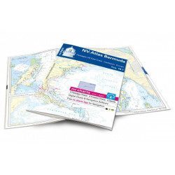
<h2>Atlas of Bermuda and Transatlantic charts return</h2>
<p style="text-align:justify;">Discover the pink beaches of Bermuda and prepare your transatlantic return with this atlas! Nautical charts for Bermuda and transatlantic sailing to Europe. 4 general charts, 4 coastal charts and 4 detailed charts are included. Size 30x42cm, bound in atlas form. In English language. The set includes a download code for all digital maps of the region. The digital maps can be used on our NV Charts app with a smartphone and tablet (Apple, iOS/MacOSX, Android, Windows 7/8).</p>
<h2 style="text-align:justify;">Features of the NV-Charts 16.1 Atlas</h2>
available
-
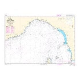
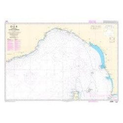
<p style="text-align:justify;">Shom 6624 nautical chart for sailing along the Portuguese and African coasts. Ideal for the sailor who wishes to make a transatlantic crossing.</p>
available