available


Detailed features

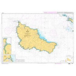
SHOM marine chart 7252L. Les Glénans. Scale 1:20000
SHOM chart of the Glénans.
In the same category
4 other products seleted for you-
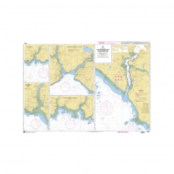
<p>Nautical chart SHOM 7145L. From Triballe to Pornichet. Scale: 1:25000.</p>
available
-
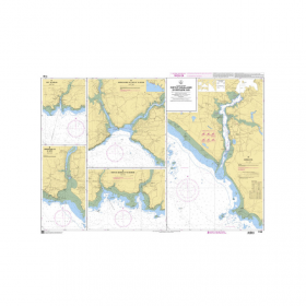
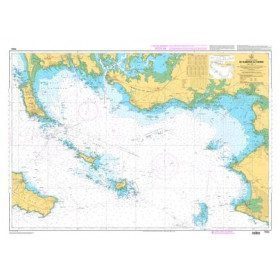
<p style="text-align:justify;">Navigation chart shom 7033 type L (folded in A4 format) for cruising between Quiberon and Le Croisic. Scale: 1:50 000</p>
available
-
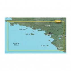
<p>Marine cartography on SD/MicroSD card compatible with all Garmin portable GPS with mapping. Local delimitation centred on South Brittany.</p>
unavailable

-
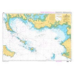
<p>SHOM marine chart 7142 L. Belle-Île. Scale 1:25000</p>
available