available


Marine chart 7407L : From Toulon to Cavalaire-sur-Mer and Hyères Islands

€39.00 Tax included
check_circle
Shipped within 24h
Une question ?
+33 2 97 11 80 95
Detailed features
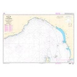
SHOM chart 7407 L is the nautical chart of Toulon Cavalaire sur Mer
Area covered: Toulon, Saint Mandrier, Le Pradet, Port Cros, Porquerolles, Hyères, Le Lavandou. Scale 1/50200.
Characteristics of the map 7407L (folded version)
- Folded size A4 (297 x 210 cm)
- Open size A0 (84 x 119 cm)
You might also like 3 other products seleted for you
-
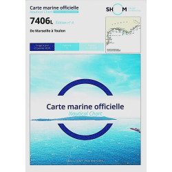
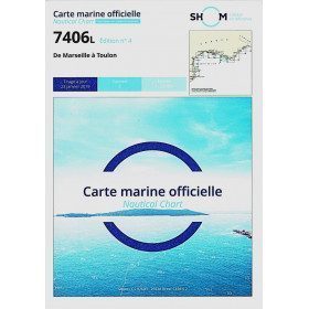
<h2>The SHOM 7406 L chart is the marine chart from Marseille to Toulon.</h2>
<p>Area covered: Marseille South, Cassis, Archipelago of Riou, La Ciotat, Bandol, Toulon. Scale 1/50000.</p>
<h2>Characteristics of the SHOM 7406L chart (folded version)</h2>
available
-
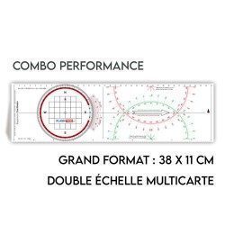
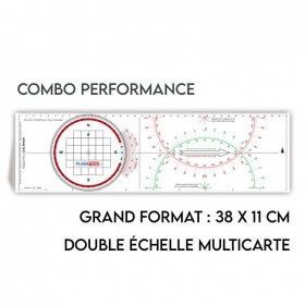
<h2>All the possibilities of the Cras rule and the Rappporteur Breton</h2>
<p style="text-align:justify;"><span>The Antares protractor ruler is both a tricolour Cras ruler AND a Breton protractor. It can be easily adapted to any skipper or sailor, whatever his or her initial training or practice habits. </span></p>
<h2>Features of the Antares rule</h2>
available

-
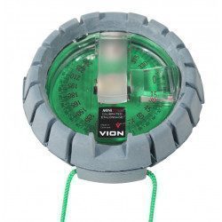
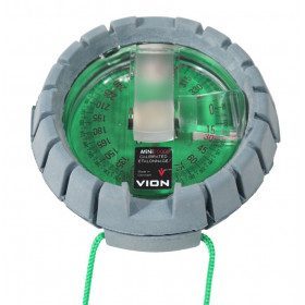
<h2>The VION Mini 2000 - "Mini Morin" bearing compass</h2>
<p style="text-align:justify;">This Vion Mini 2000 bearing compass is the famous "Mini Morin" famous in all cruising schools. Renowned for its solidity and reliability, it will find its place in your chart table and will assist you efficiently in your coastal courses.</p>
<h2>Features of the VION Mini 2000 bearing compass</h2>
available
In the same category
4 other products seleted for you-
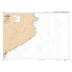
<p>Shom marine chart 7663. From Barcelona to Cape Cerbere. Scale 1:175000.</p>
available
-
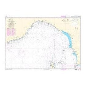
<p>Shom marine chart 6821L. Nice to Piombino. Scale: 1:250000.</p>
available
-
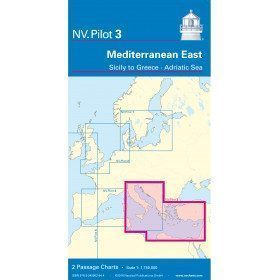
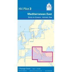
<h2>East Mediterranean Offshore Marine Chart</h2>
<p><span>The NV Pilot 3 offshore chart covers the Eastern Mediterranean: on the front side the Tyrrhenian Sea, the Adriatic Sea, the Ionian Sea and the region of Sicily up to the coast of Tunisia. The reverse side covers the Mediterranean Sea up to longitude 17°E</span></p>
<h2>Details on the NV Pilot 3 map - East Mediterranean</h2>
available
-
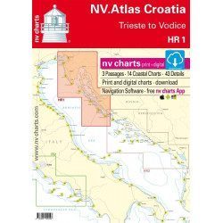
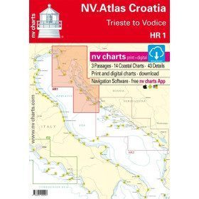
<h2>Sea Cards Packs for the Mediterranean Area</h2>
<p>The nv-charts are characterized by fine contours and easy to distinguish colour graduations of the depth lines: turquoise for coral reefs, red for the 2-metre line and blue for the 5-metre zones. Presented in a practical and user-friendly format (A3 closed and A2 open), a thick plastic envelope protects the charts, making them easy to store. The importance of a good graphic representation of the topography when navigating the Mediterranean is essential.<br /><br />Well-marked rivers, towns and street maps all contribute to a clear overview of the islands' waterfront facilities. Red numbered waypoints with coordinates based on WGS 84 allow mariners to navigate with their GPS instruments. Heights and depths are shown in the internationally recognized metre format. Large-scale approaches and land contour markings simplify entry into anchorages.</p>
<h2><span style="color:#ff0000;">Picksea is Premium Reseller of NV-Charts</span></h2>
<h2>Features of NV-Charts Packs - Mediterranean Zone</h2>
available