available
Detailed features

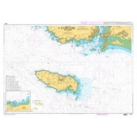
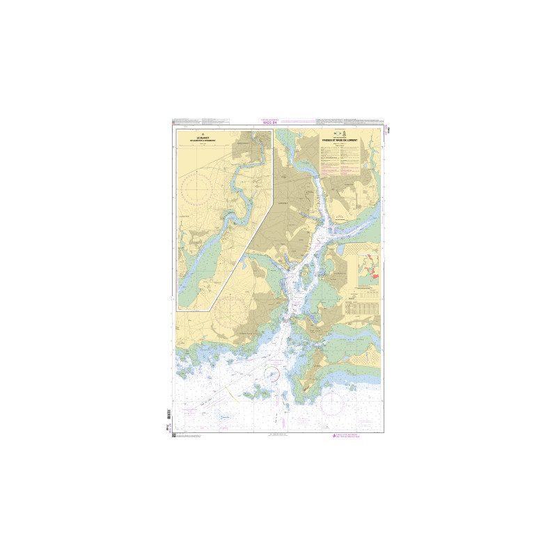
SHOM marine chart 7140 L. Rade and passes of Lorient. Scale 1:10000
SHOM chart.
You might also like 4 other products seleted for you
-
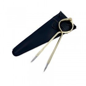
<h2>One Hand Brass Divider</h2>
<p style="text-align:justify;">One hand brass divider for aesthetics with fine stainless steel points for accuracy of measurement. The one hand divider is an indispensable marine instrument for measuring distances on a nautical chart whatever the scale, for determining its position in latitude and longitude or for positioning a point on the chart.</p>
<h2><span>Features of the One Hand Divider</span></h2>
available

-
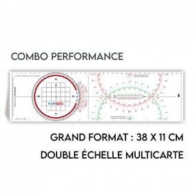
<h2>All the possibilities of the Cras rule and the Rappporteur Breton</h2>
<p style="text-align:justify;"><span>The Antares protractor ruler is both a tricolour Cras ruler AND a Breton protractor. It can be easily adapted to any skipper or sailor, whatever his or her initial training or practice habits. </span></p>
<h2>Features of the Antares rule</h2>
available

-
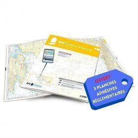
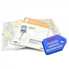
<h2>NV-CHARTS FR5 - 29 South West Brittany nautical charts (from Douarnenez to Lorient) + the 3 statutory adhesive sheets</h2>
<p><span style="font-size:10pt;">In this NV-Charts FR5 pack, you will find an Atlas of <span>29 charts of South-West Brittany, from Douarnenez to Lorient, including 2 deep-sea charts, 11 coastal charts and 16 detailed charts</span>. With a personal download code, you will have access to all the maps in digital format as well as the <strong>NV Graphical Navigator light navigation software</strong> both freely usable on PC, tablets or smartphone!</span></p>
<p><span style="font-size:10pt;">The areas represented are: <strong>South West Brittany Douarnenez, Sein, Audierne, Guilvinec, Loctudy, Bénodet, Port La Forêt, Concarneau, Les Glénan, Aven Belon, Doëlan, Groix, Lorient(FRANCE).</strong></span></p>
<p><span style="font-size:10pt;"><span style="color:#ff0000;"><strong>Free with your FR5 pack:</strong></span> 3 adhesive sheets containing the mandatory regulatory documentation (RIPAM, buoys and flags) for navigation in coastal areas (art 242-2.04 of Division 240). <span style="color:#ff0000;"><strong>When you buy your pack, you have all the regulatory documentation for sailing within 6 miles of a shelter.</strong></span></span></p>
<h2>Description of the FR5 card pack</h2>
available
-
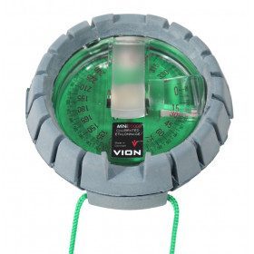
<h2>The VION Mini 2000 - "Mini Morin" bearing compass</h2>
<p style="text-align:justify;">This Vion Mini 2000 bearing compass is the famous "Mini Morin" famous in all cruising schools. Renowned for its solidity and reliability, it will find its place in your chart table and will assist you efficiently in your coastal courses.</p>
<h2>Features of the VION Mini 2000 bearing compass</h2>
available

In the same category
4 other products seleted for you-
<h2>NV-CHARTS FR4 - 33 West Brittany Marine Charts (from the Seven Islands to Douarnenez) + the 3 regulatory adhesive sheets</h2>
<p><span style="font-size:10pt;">In this pack NV-Charts FR4, you will find an Atlas of 33 nautical charts from the Seven Islands to Douarnenez<span> including 2 offshore maps, 13 coastal maps and 18 detailed maps</span>. With a personal download code, you will have access to all the maps in digital format as well as the <strong>NV Graphical Navigator light navigation software</strong> both freely usable on PC, tablets or smartphone!</span></p>
<p><span style="font-size:10pt;">The areas represented are: <strong>Western Brittany - Roscoff, Morlaix, Ouessant, Molène, Brest, Camaret, Crozon, Morgat, Douarnenez, Sein (FRANCE).</strong></span></p>
<p><span style="font-size:10pt;"><span style="color:#ff0000;"><strong>Free with your FR4 pack:</strong></span> 3 adhesive sheets containing the mandatory regulatory documentation (RIPAM, buoys and flags) for navigation in coastal areas (art 242-2.04 of Division 240). <span style="color:#ff0000;"><strong>When you buy your pack, you have all the regulatory documentation for sailing within 6 miles of a shelter.</strong></span></span></p>
<h2>Description of the FR4 card pack</h2>
available
-
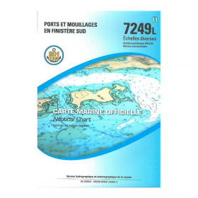
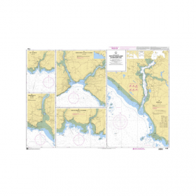
<p>Nautical chart SHOM 7249L. Ports and anchorages in South Finistère. Scale: 1:20000.</p>
available
-
<p>SHOM marine chart 7139 L. Groix Island and Lorient roadstead. Scale 1:20000</p>
available
-
<p>Nautical chart SHOM 7145L. From Triballe to Pornichet. Scale: 1:25000.</p>
available


