available


Detailed features

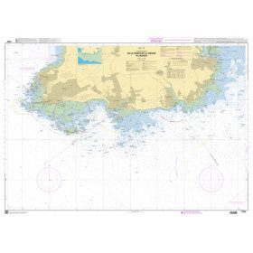
SHOM marine chart 7139 L. Groix Island and Lorient roadstead. Scale 1:20000
SHOM chart.
In the same category
4 other products seleted for you-
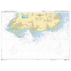
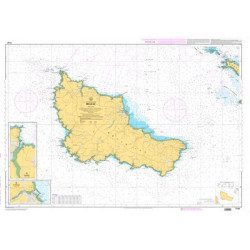
<p>SHOM marine chart 7142 L. Belle-Île. Scale 1:25000</p>
available

-
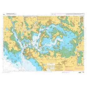
<p>HOM Marine Chart 7137 -CA Flat chart of the Gulf of Morbihan. Scale 1:20000</p>
available

-
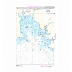
<p>SHOM marine chart 7251 L. From Loctudy to Concarneau. Scale 1:20 00.</p>
available
-
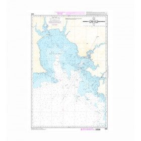
<h2>SHOM Marine Chart 7250L - From Pointe de la Torche to Loctudy</h2>
<ul><li>Scale 1:20000</li>
<li>Folded</li>
</ul>
available