available


Detailed features

Shom 7068 navigation chart for cruising between Quiberon and Les Sables d'Olonne. Scale: 1:162400
SHOM chart number 7068L. of the Atlantic coast.
In the same category
4 other products seleted for you-
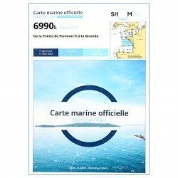
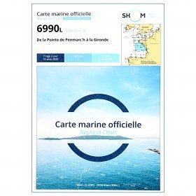
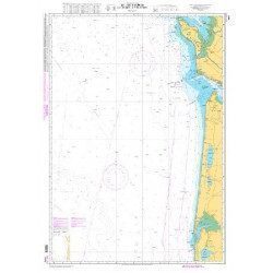
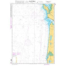
<p style="text-align:justify;">Shom 6990 marine chart for your navigations between Penmarc'h and the Gironde estuary. Scale: 1:355000</p>
available
-
<p style="text-align:justify;">Shom marine chart for navigation from Oleron island to Arcachon basin. Scale: 1:167000.</p>
available
-
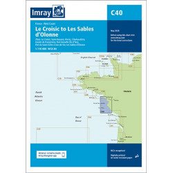
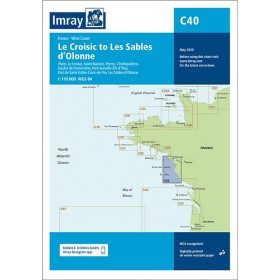
<h2 style="text-align:justify;">Imray C40 marine chart from Croisic to Sables d'Olonne</h2>
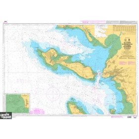
<p style="text-align:justify;">In this edition, the map specification has been improved to show coloured light flashes. The latest depth readings have been included where available and the shooting range has been updated. Additional tidal current data is included for Bourgneuf Bay. The plan of the L'Herbaudière marina has been revised to show its new configuration. A general update has been made throughout.</p>
<p style="text-align:justify;">Plans included:</p>
<ul><li>Le Croisic (1:15 000)</li>
<li>Saint-Nazaire (1:25 000)</li>
<li>Pornic (1:12 500)</li>
<li>L'Herbaudière (1:12 500)</li>
<li>Goulet de Fromentine (1:30 000)</li>
<li>Port-Joinville (Île d'Yeu) (1:10 500)</li>
<li>Port de Saint-Gilles-Croix-de-Vie (1:15 000)</li>
<li>Les Sables d'Olonne (1:20 000)</li>
</ul><h2 style="text-align:justify;">Characteristics of the Imray C40 map from Croisic to Sables d'Olonne</h2>
unavailable
-
<p>Marine chart for navigations around the Ile de Ré. SHOM 7404 L - From the Pointe du Grouin du Cou to the Pointe de Chassiron</p>
available