available


Detailed features

Marine chart for coastal navigation. SHOM 6966L - Des Héaux-de-Bréhat au Cap Lévi - Shom paper chart - Scale : 1 : 155508
Folded format (A4): 21 x 29.7 - Unfolded format (A0): 84.1 cm x 118.9 cm.
The SHOM has adopted a medium whose main characteristic is its resistance to use in a humid environment (rain, sea spray), while preserving the ease of writing and deleting personal navigation information (plot of the point, route layout, etc.). This support is a paper loaded with latex, which gives it a good resistance to folding, even when wet. This resistance to water is not unlimited, but allows to obtain a chart with a correct life span.
In the same category
4 other products seleted for you-
<h2>NV-CHARTS FR2 - 25 Western Channel Charts (from Cherbourg to St Malo) + the 3 regulatory adhesive sheets</h2>
<p><span style="font-size:10pt;">In this NV-Charts FR2 pack, you will find an atlas of 25 nautical charts from Cherbourg to St Malo, including 2 deep-sea charts, 14 coastal charts and 9 detailed charts. Thanks to a personal download code, you will have access to all the charts in digital format as well as to the <strong>NV Graphical Navigator light navigation software</strong> both freely usable on PC, tablets or smartphone!</span></p>
<p><span style="font-size:10pt;">The area represents the Channel (FRANCE), and more precisely the following areas: <strong>Channel Islands - Cherbourg, Granville, Chausey, Jersey, Guernsey, Cancale, Saint Malo.</strong></span></p>
<p><span style="font-size:10pt;"><span style="color:#ff0000;"><strong>Free with your FR2 pack:</strong></span> 3 adhesive sheets containing the mandatory regulatory documentation (RIPAM, buoys and flags) for navigation in coastal areas (art 242-2.04 of Division 240). <span style="color:#ff0000;"><strong>When you buy your pack, you have all the regulatory documentation for sailing within 6 miles of a shelter.</strong></span></span></p>
<h2>Description of the FR2 card pack</h2>
available
-
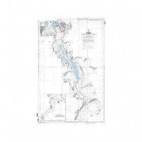
<p>Marine chart for coastal navigation. SHOM 4233 L - LA RANCE : from St Malo to the Chatelier lock - Scale 1:15000.</p>
available
-
available


-
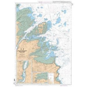
<p>Marine chart for coastal navigation. SHOM 7127 L - Bréhat Island - Paimpol Cove - Trieux Entrance. Scale 1:20000</p>
available