available


Detailed features

Marine chart shom 6767 for navigations along the blue coast and in the roadstead of Marseille until the calanques. Nautical chart SHOM type Carte L folded in A4 format or flat , for pleasure boating. Up to date printing Scale 1 : 50 000
| Card number : | 6767 - INT 1800 |
| Title : | From Fos sur Mer to Marseille |
| Scale : | 1:50000 |
| Last edition : |
Edition n° 4 2017 Last correction : 17 classic nautical chart, unfolded, A0 format, print run 2021 |
| Format: | A0 |
| Geodetic system: | WGS84 |
| Chart & Variants : | 6797 : classic nautical chart, unfolded. Current issue: 2021 6797 L: L chart, folded to A4 size, for pleasure craft. Current issue: 2021 |
In the same category
4 other products seleted for you-
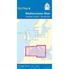
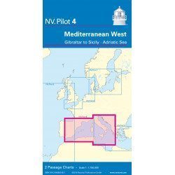
<h2>West Mediterranean Offshore Marine Chart</h2>
<p><span>The NV Pilot 4 offshore chart covers the western Mediterranean: the front side covers the Tyrrhenian Sea, the Adriatic Sea, the Ionian Sea and the region from Sicily to the coast of Tunisia. The reverse side covers the Mediterranean from Gibraltar to Palermo (Sicily)</span></p>
<h2>Details on the NV Pilot 4 map - West Mediterranean</h2>
available

-
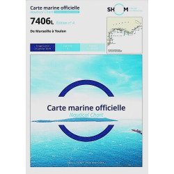
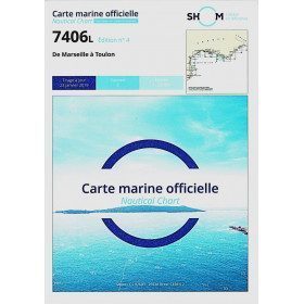
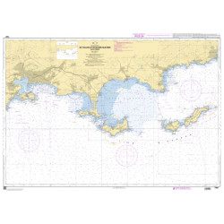
<h2>The SHOM 7406 L chart is the marine chart from Marseille to Toulon.</h2>
<p>Area covered: Marseille South, Cassis, Archipelago of Riou, La Ciotat, Bandol, Toulon. Scale 1/50000.</p>
<h2>Characteristics of the SHOM 7406L chart (folded version)</h2>
available
-
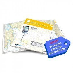
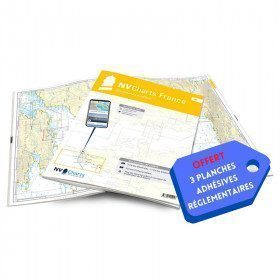
<h2>NV-CHARTS FR9 - 70 Mediterranean Sea charts (from Cap Creus to Toulon) + the 3 regulatory adhesive sheets</h2>
<p><span style="font-size:10pt;">In this NV-Charts FR9 pack, you will find an Atlas of <span>70 Mediterranean charts from Cap Creus to Toulon including 3 offshore charts, 14 coastal charts and 53 detailed charts</span>. With a personal download code, you will have access to all the maps in digital format as well as the <strong>NV Graphical Navigator light navigation software</strong> both freely usable on PC, tablets or smartphone!</span></p>
<p><span style="font-size:10pt;">The areas represented are: <strong>Mediterranean - Port Vendres, Leucate, Canet, Port La Nouvelle, Gruissan, Cap d'Agde, Palavas, Port Camargue, La Grande Motte, Martigue, Carry, Marseille, Calanques, Cassis, La Ciotat, Saint Cyr, Bandol, Toulon (FRANCE)</strong></span></p>
<p><span style="font-size:10pt;"><span style="color:#ff0000;"><strong>Free with your FR9 pack:</strong></span> 3 adhesive sheets containing the mandatory regulatory documentation (RIPAM, buoys and flags) for navigation in coastal areas (art 242-2.04 of Division 240). <span style="color:#ff0000;"><strong>When you buy your pack, you have all the regulatory documentation for sailing within 6 miles of a shelter.</strong></span></span></p>
<h2>Description of the FR9 card pack</h2>
available
-
<h2>SHOM chart 7407 L is the nautical chart of Toulon Cavalaire sur Mer</h2>
<p>Area covered: Toulon, Saint Mandrier, Le Pradet, Port Cros, Porquerolles, Hyères, Le Lavandou. Scale 1/50200.</p>
<h2>Characteristics of the map 7407L (folded version) </h2>
available