available


Detailed features

Coaching to prepare, train and progress
This manual Coaching light sail of Vagnon proposes a learning method thanks to a very visual, well explained and easy to understand guide to progress in light sailing. In three major stages: getting ready (the right moves), training (taking your first steps) and progressing (becoming an expert), you'll become an expert on the subject!
Characteristics of the Light Sailing Coaching
- Edition Vagnon
- Author Yann Chateau
- Illustration Lorenzo Timon
- Format 17,5 x 18cm
- 128 pages
You might also like 2 other products seleted for you
-
<h2><strong>The essential pack to prepare your offshore licence</strong></h2>
<p style="text-align:justify;">A set of quality tools to pass your offshore licence! Picksea is the owner of the Flash-Tide Instruments brand and our teams manufacture in France, in Lorient, all models of <a href="https://www.picksea.com/en/106806-cras-navigation-rules">rules cras</a> or Breton. Picksea is also a SHOM agent. We are therefore the best able to provide you with a pack composed of the best products at the best price.</p>
<h2>Composition of the offshore licence pack</h2>
available

-
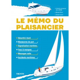
<h2>The boater's memo: a practical memo of the ABCs of navigation</h2>
<p style="text-align:justify;">The boater's memo of the edition <strong>Vagnon</strong> is a practical and very visual memo which makes it easy to understand and remember. The aim of this memo is to guide you through the stages of a successful trip at sea. Harbour manoeuvres, signs, lights, markings, radio messages, accidents, safety rules: everything is explained to help you adopt the right gestures to avoid endangering your own life and that of your crew.</p>
<h2>Features of the Boater's Memo</h2>
available

In the same category
4 other products seleted for you-
<h2>The guide to living well on board to deal with all situations</h2>
<p style="text-align:justify;">The guide to living well on board <strong>Vagnon</strong> offers technical advice (how to optimize your space and equip yourself well) but also psychological advice to avoid crisis situations and to live well on board with your crew or alone. You will find themes such as equipment and material, managing emotions, stress, solitude, fear...</p>
<h2>Features of the Guide to living well on board</h2>
available
-
<div class="fiche-txt">
<h2>The logbook for your boat!</h2>
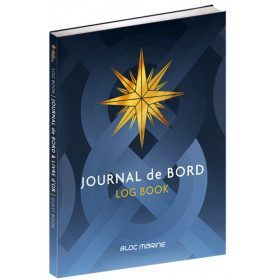
<p style="text-align:justify;">Here is the logbook / guestbook of the Bloc Marine brand, a luxury bound edition of 128 pages, printed in four-colour process on high quality paper. This logbook, which is compulsory on board for voyages beyond 6 miles from a shelter, is the essential element for noting and relating all the events of your navigation: safety, weather observations, route information, ship's conduct, positions and technical remarks, life on board. It also contains 12 pages of information and advice on navigation and weather.</p>
<p style="text-align:justify;">Its guest book allows you to keep all the memories of your navigations.</p>
<h2>Characteristic of the logbook of BLOC MARINE:</h2>
</div>
available
-
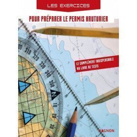
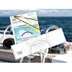
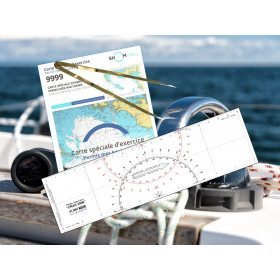
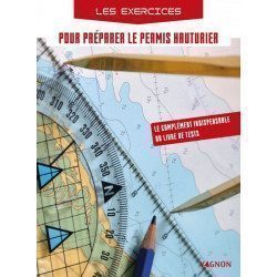
<h2>Exercises to prepare for the offshore licence</h2>
<p>This exercise book allows candidates to practice on exam subjects in accordance with the training program. This workbook is a must for anyone who wants to pass the offshore licence and be ready on D-day!</p>
<h2>Characteristics of the exercise book to prepare for the offshore licence</h2>
available
-
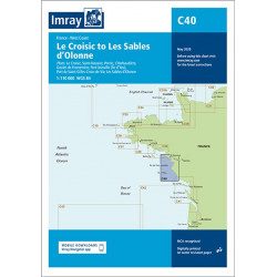
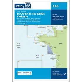
<h2 style="text-align:justify;">Imray C40 marine chart from Croisic to Sables d'Olonne</h2>
<p style="text-align:justify;">In this edition, the map specification has been improved to show coloured light flashes. The latest depth readings have been included where available and the shooting range has been updated. Additional tidal current data is included for Bourgneuf Bay. The plan of the L'Herbaudière marina has been revised to show its new configuration. A general update has been made throughout.</p>
<p style="text-align:justify;">Plans included:</p>
<ul><li>Le Croisic (1:15 000)</li>
<li>Saint-Nazaire (1:25 000)</li>
<li>Pornic (1:12 500)</li>
<li>L'Herbaudière (1:12 500)</li>
<li>Goulet de Fromentine (1:30 000)</li>
<li>Port-Joinville (Île d'Yeu) (1:10 500)</li>
<li>Port de Saint-Gilles-Croix-de-Vie (1:15 000)</li>
<li>Les Sables d'Olonne (1:20 000)</li>
</ul><h2 style="text-align:justify;">Characteristics of the Imray C40 map from Croisic to Sables d'Olonne</h2>
unavailable