available


Detailed features

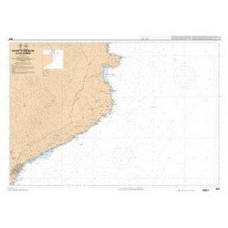
Imray Marine Chart M12 Cabo de Gata to Denia and Ibiza
Plans included: Mar Menor (1:75 000) Torrevieja (1:20 000) Alicante (1:30 000) Villajoyosa (1:15 000) Altea (1:15 000) Dénia (1:25 000) Cartagena (1:15 000) This edition includes the latest official Instituto Hidrográfico de la Marina Digital, combined with additional information sourced from Imray's network to make it ideal for small craft. The chart has been fully revised throughout. The main panel has been rescaled to 1:450,000 for consistency with other M-Series charts in Mediterranean Spain. The plan of Mar Menor now provides coverage at an improved larger scale. A new plan of Cartagena has been added.
Specifications of the Imray Marine Chart M12 Cabo de Gata to Denia and Ibiza
- Author: Imray M Series
- Publication details: 640 x 900mm folded to A4, Water-resistant paper chart in plastic wallet or flat on request
- Edition date: 2023
In the same category
4 other products seleted for you-
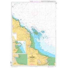
<p>Marine chart for coastal navigation. SHOM 7128 L - Bay of Saint Brieuc - from Pointe de la Tour to Yffiniac Cove. Scale 1:25000</p>
available
-
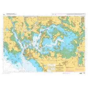
<p>HOM Marine Chart 7137 -CA Flat chart of the Gulf of Morbihan. Scale 1:20000</p>
available


-
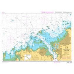
<p>Marine chart for coastal navigation. SHOM 7130 L - Approaches to Saint Malo - from Hebihens Island to Pointe de la Varde - Scale 1:15000.</p>
available
-
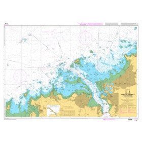
<p>Shom marine chart 7663. From Barcelona to Cape Cerbere. Scale 1:175000.</p>
available