available
Guide EDB de navigation fluviale New
  • Guide EDB de navigation fluviale
  • Guide EDB de navigation fluviale
  • Guide EDB de navigation fluviale
  • Guide EDB de navigation fluviale
  • Guide EDB de navigation fluviale
  • Guide EDB de navigation fluviale
  • Guide EDB de navigation fluviale
  • Guide EDB de navigation fluviale
  • Guide EDB de navigation fluviale
  • Guide EDB de navigation fluviale
  • Guide EDB de navigation fluviale
  • Guide EDB de navigation fluviale
  • Guide EDB de navigation fluviale
  • Guide EDB de navigation fluviale
  • Guide EDB de navigation fluviale
  • Guide EDB de navigation fluviale
  • Guide EDB de navigation fluviale
  • Guide EDB de navigation fluviale
  • Guide EDB de navigation fluviale
  • Guide EDB de navigation fluviale
  • Guide EDB de navigation fluviale
  • Guide EDB de navigation fluviale
  • Guide EDB de navigation fluviale

Guide EDB de navigation fluviale

See detailed specifications

€22.00 Tax included

check_circle In stock
Une question ? +33 2 97 11 80 95

Une question ? +33 2 97 11 80 95

In the same category

4 other products seleted for you
  • <h2>The Pilote Côtier guide offers precise documentation on ports and anchorages</h2> <p>Some yachtsmen from the north like to criticise the coasts of Provence and the Riviera, which in their eyes are nothing more than a continuous front of built-up areas and large marinas, in a word a real concrete wall. They have never really sailed along these shores from Marseille to Menton. One can only be amazed at the sun-bleached stone cliffs carved out by the deep creeks of Marseille and overflowing with totally deserted islets. Then come the Cyclops wall of Cassis, the highest cliffs in France, the imposing promontory of Cap Sicié, totally inaccessible by land, and all the charming little ports between the large harbour of Toulon and the marshes of the Giens peninsula where pink flamingos nest. The pine-shaded shores of Porquerolles Island have also remained unchanged for centuries and the southern coast is just as wild as many of the Corsican shores.</p> <p>To say that the area around Saint Tropez is overrun with rich villas with their feet in the water is to ignore the reddish rocky escarpments, the great fleeces of pine trees which descend to the sea from the Capes Lardier and Camarat. The multitude of small creeks of the Trayas coast between St Raphaël and Cannes, can also only make you love Mediterranean landscapes. And even in the vicinity of the big cities of Nice and Monaco, one can still find, as in the bay of Villefranche, some quiet anchorages in a nature preserved from concrete. The Italian coast is undoubtedly one of the most urbanised, but its coastline remains mountainous and the atmosphere of its ports is always lively and attractive.</p> <h2>Features</h2>
    available
  • <div class="fiche-txt"> <h2>Indispensable for sailing within 6 miles of a shelter: the Mediterranean 2024 Bloc Cotier</h2> <p style="text-align:justify;">The Mediterranean 2024 Bloc Cotier is a smaller work than the Marine block, bringing together all the compulsory and regulatory elements on board a boat for coastal sailing, i.e. within 6 miles of a shelter according to the regulations in force. It offers you wider access to all the essential documents on board, such as port descriptions and updated charts. With even more photos, the coastal block also includes a complete atlas. The mandatory 2024 regulations have also been completely updated.</p> <h2>Detailed summary of the Mediterranean Coastal Block 2024</h2> </div>
    available
  • <h2>Prepare your navigation with this navigation guide!</h2> <p>This sailing guide: "The Scilly Islands - Pearls of Cornwall" describes in detail the ports, marinas and numerous anchorages. The presentation of this sailing guide is clear and detailed, with many photos to complement the maps and charts.</p> <p>For each port, island or bay: description (location with waypoint, hazards, lights, maps, radio contacts, harbour master's office), cartography, approach (day and night), mooring and anchorage, equipment and services, shore visits, history.</p> <h2>Detailed features of the Isles of Scilly Navigation Guide</h2>
    available
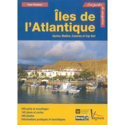
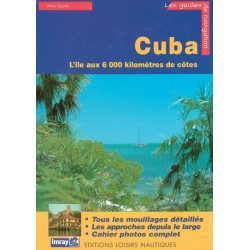
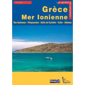
  • <p>Guide from the prestigious English publishing house IMRAY, world reference in the field of marine cartography. This guide covers the areas of Corsica, Sardinia, the Tuscan Islands, from Elba to Giannutri. Edition of 23/04/2012</p>
    available