available


Detailed features

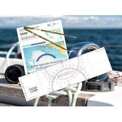
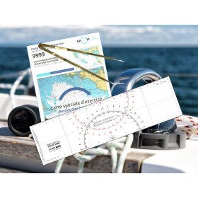
Exercises to prepare for the offshore licence
This exercise book allows candidates to practice on exam subjects in accordance with the training program. This workbook is a must for anyone who wants to pass the offshore licence and be ready on D-day!
Characteristics of the exercise book to prepare for the offshore licence
- 64 pages
- Format: 21 x 29.7 cm
In the same category
4 other products seleted for you-
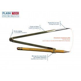
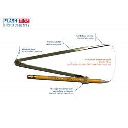
<h2>Marine Plotter Compass</h2>
<p><span>Brass marine compass with fine stainless steel tip for navigation. Pencil fastening by screw (adjustable height).</span></p>
<h2><span>Features of the Flash-Tide compass</span></h2>
available

-
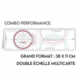
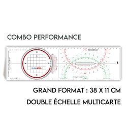
<h2>All the possibilities of the Cras rule and the Rappporteur Breton</h2>
<p style="text-align:justify;"><span>The Antares protractor ruler is both a tricolour Cras ruler AND a Breton protractor. It can be easily adapted to any skipper or sailor, whatever his or her initial training or practice habits. </span></p>
<h2>Features of the Antares rule</h2>
available
-
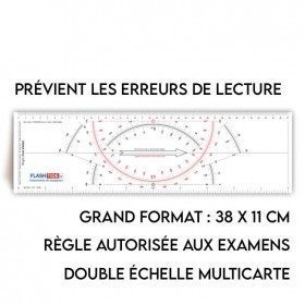
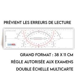
<h2>Rule Type Cras</h2>
<p style="text-align:justify;">A two-coloured red and black cras ruler with a special design that makes it easier to read than other cras rulers.</p>
<h2>Characteristics of the Cras Type Rule</h2>
available
-
<h2><strong>The essential pack to prepare your offshore licence</strong></h2>
<p style="text-align:justify;">A set of quality tools to pass your offshore licence! Picksea is the owner of the Flash-Tide Instruments brand and our teams manufacture in France, in Lorient, all models of <a href="https://www.picksea.com/en/106806-cras-navigation-rules">rules cras</a> or Breton. Picksea is also a SHOM agent. We are therefore the best able to provide you with a pack composed of the best products at the best price.</p>
<h2>Composition of the offshore licence pack</h2>
available