available


Detailed features

The indispensable tool for the Breton sailor: The Normandy Coastal Almanac 2019
A true bible or Swiss Army knife for professional and amateur sailors. The Normandy Coastal Almanac contains all the necessary and indispensable information for the smooth running of your trips in this region. This reference book is very complete since it contains information on many ports of the English Channel as well as meteorological information such as tide times. Much more than a simple navigation guide, this almanac has for main objective to help the families of sailors in need.
Detailed features of the Normandy coastal almanac
- Port information
- Weather information
- Radionavigation aid
- Signage and markings
- Administrative information
In the same category
4 other products seleted for you-
<div class="fiche-txt">
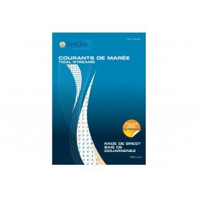
<h2>11 Atlas detailing tidal currents and water heights by Zone</h2>
<p>The tidal current atlases show the current fields at each hour of the tide, in average spring and neap tides. Essential for the safety of all sailors, they will also be an effective aid for your regattas.</p>
<h2>Details of the Shom Currents & Tides Atlas</h2>
</div>
available


-
<div class="fiche-txt">
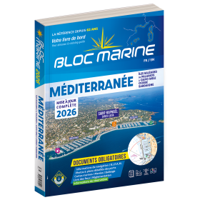
<h2>Indispensable on board : Bloc Marine Méditerranée 2025</h2>
<p style="text-align:justify;">Truly the bible of any sailor, the Mediterranean Marine Block 2025 edition allows you to have all the regulatory documents for the safety of the boat essential on board. A complete update of the mandatory 2025 regulations has been made. In this edition, you will also find <span>a special section devoted to new technologies: "electronics - equipment - home automation".</span>. The descriptions of the ports in WGS84 and the maps are updated every year and allow you to save precious time to reach the port safely. A complete atlas is also included in this Mediterranean 2025 Marine block. The marine and coastal blocks offer a real documentation for your sea excursions. So, find the whole collection of regulatory boat equipment on Picksea, your online shop for marine books.</p>
<h2>Detailed summary of the Mediterranean Sea Block 2025</h2>
</div>
available

-
available
-
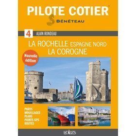
<h2>Indispensable for successful cruising from La Rochelle to La Coruña!</h2>
<p>An indispensable tool for pleasure boating, this Coastal Pilot n°4, modernised and updated by Jean-Louis Guéry, is a reference book for anyone wishing to sail in the Atlantic, in the area between La Rochelle and La Corogne. It has been given a clearer and more practical presentation. It contains all the information and advice needed to enter ports, reach an anchorage, avoid pitfalls, navigate a difficult passage, find a service at the port of call, etc. Illustrated with numerous photos and aerial views to easily identify the landscape, it also includes maps of ports and anchorages, lists of waypoints, addresses and useful telephone numbers. A must-have!</p>
<h2>Features</h2>
available