available


In the same category
4 other products seleted for you-
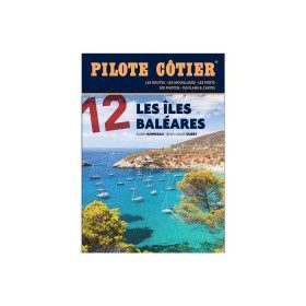
<h2>From the calas of Menorca to the great beaches of Formentera, the essential guide to the Balearic Islands!</h2>
<p>Just a day's sail from the French Mediterranean coast, the Balearic Islands are a dream destination. Four islands which have in common a remarkably sunny climate, moderate summer breezes, easily accessible ports and indented coasts where a multitude of coves, each more beautiful than the next, are hidden. Minorca, the most northerly, is also the wildest. Its real little fjords, the roadsteads of Fornells and Port Mahon, offer well-sheltered waters. Mallorca is more grandiose with a very contrasting coastline, from the impressive cliffs of the west coast to the small coves of the east coast, not forgetting the small pearls that are the islands of Cabrera and Dragonera. Ibiza and Formentera are even more sunny and carefree. If their coves and beaches are an invitation to drop anchor, their harbours are always buzzing with life. All the information you need to sail safely. An indispensable book, in addition to the nautical chart and the GPS.</p>
<h2>Features</h2>
available


-
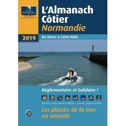
<div class="fiche-txt"><h2>The indispensable tool for the Breton sailor: The Normandy Coastal Almanac 2019</h2><p style="text-align: justify;">A true bible or Swiss Army knife for professional and amateur sailors. The Normandy Coastal Almanac contains all the necessary and indispensable information for the smooth running of your trips in this region. This reference book is very complete since it contains information on many ports <span>of the English Channel as well as meteorological information such as tide times. Much more than a simple navigation guide, this almanac has for main objective to help the families of sailors in need.</span></p><h2>Detailed features of the Normandy coastal almanac</h2></div>
available
-
<div class="fiche-txt">
<h2>The Marine Block covering all the West Indies and updated</h2>
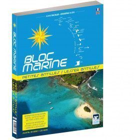
<p>The West Indies Marine block is the logbook for long distance cruising which allows you to have all the essential documents on board for a transatlantic navigation and once in the West Indies. The descriptions of the ports and the maps allow you to save precious time in order to discover these navigation areas in complete safety. Written in French and English, this guide covers an area from the Virgin Islands to Trinidad and Tobago.</p>
<h2>Detailed features of the Caribbean Marine Block</h2>
</div>
available

-
<div class="fiche-txt">
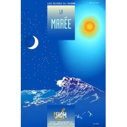
<h2>The tide in detail by SHOM</h2>
<p>This work is dedicated to any yachtsman who is particularly interested in the tide and all that can result from it. A very nice book filled with beautiful photos and landscapes, but also with relevant and quality information.</p>
<h2>General browsing on Picksea.com</h2>
<p>Many books on navigation in general are available on our site, do not hesitate to discover and enjoy them by browsing our categories. Such as the practical guides, the marine guides, or the youth section for your children!</p>
<h2>Features of this book</h2>
</div>
available