available


Detailed features

All about the world of boating - Written and designed by the experts at Picksea!
From A for "Shoot" to Z for "Avoidance Zone", this "Abécédaire du plaisancier" offers definitions of more than 300 key words that are essential for acquiring a solid nautical culture that is useful for any outing at sea, in a motorboat or under sail.
The book is enriched with visual plates to identify and remember at a glance the essentials about the design and operation of a boat, basic manoeuvres, markings and markings, safety equipment, rigging, sails, etc...
Details on the Abécédaire du plaisancier
- Format 16 x 22 cm 128 pages
- 50 descriptive plates
- Over 300 definitions
You might also like 1 other product seleted for you
-
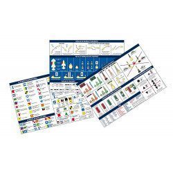
<h2>Code Marin réglementaire bateau : Pack of 3 A5 adhesive sheets</h2>
<p>The regulatory marine code in 3 self-adhesive sheets RIPAM / Buoyage / Flags gathers the essential of the international maritime regulations for pleasure boating. A5 format, easier to put on board. <span style="color:#ff0000;"><strong>CONFORMS TO D240</strong></span></p>
<h2>Characteristics of the Marine Code in a pack of 3 A5 sheets</h2>
available

In the same category
4 other products seleted for you-
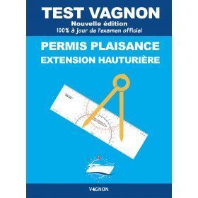
<h2>Vagnon test for boating licence extension for offshore fishing to pass your exam!</h2>
<p>This is the essential tool for candidates to revise the programme for the offshore extension licence. It complements the offshore extension code. This edition includes: a reminder of the principles of calculation (relative numbers, sexagesimal, speed and distances) and important definitions, 220 thematic exercises and 12 mock exams of the same type as those given in the exam.</p>
<h2>Characteristics of the Vagnon test for boating offshore licence extension</h2>
available

-
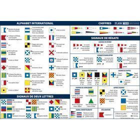
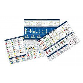
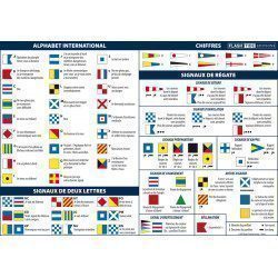
<h2>Adhesive Marine Code A5 Maritime Flags and Regattas</h2>
<p>The flags for boats adhesive sheet displays the essential international maritime flag signage in the rules of navigation. It also contains all the official flags used in regattas.</p>
<h2>Characteristics of the Maritime Flags and Regattas Code</h2>
available
-
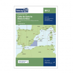
<h2>Imray Marine Chart M12 Cabo de Gata to Denia and Ibiza</h2>
<p>Plans included: Mar Menor (1:75 000) Torrevieja (1:20 000) Alicante (1:30 000) Villajoyosa (1:15 000) Altea (1:15 000) Dénia (1:25 000) Cartagena (1:15 000) This edition includes the latest official Instituto Hidrográfico de la Marina Digital, combined with additional information sourced from Imray's network to make it ideal for small craft. The chart has been fully revised throughout. The main panel has been rescaled to 1:450,000 for consistency with other M-Series charts in Mediterranean Spain. The plan of Mar Menor now provides coverage at an improved larger scale. A new plan of Cartagena has been added.</p>
<h2>Specifications of the Imray Marine Chart M12 Cabo de Gata to Denia and Ibiza</h2>
available
-
<div class="fiche-txt">
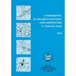
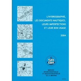
<h2>All the good uses of nautical documents in a dedicated book</h2>
<p>This book will give you a complete overview of hydrography and nautical records with their imperfections and proper use.</p>
<h2>All Shom's regulatory books on Picksea.com</h2>
You can find on our site all the regulatory works of the Shom, such as the International Regulations for Preventing Collisions at Sea 2A and 2B, or the work 3C on maritime signalling.</div>
available